 vesseltracker.com
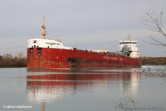
Find the position of the vessel Thunder Bay on the map. The latter are known coordinates and path.
marine traffic ship tracker show on live map
The current position of vessel Thunder Bay is 48.3026 lat / -69.4134 lng. Updated: 2025-09-07 09:38:10 UTCCurrently sailing under the flag of Canada
Thunder Bay built in 2013 year
Deadweight:
34433 tDetails:
Last coordinates of the vessel:
UTC, 47.7873, -69.8423, course: 33, speed: 11.9UTC, 47.9798, -69.6708, course: 33, speed: 12.1
UTC, 48.1284, -69.5538, course: 30, speed: 11.6
2025-09-07 09:38:10 UTC, 48.3026, -69.4134, course: 27, speed: 9.5