 vesseltracker.com
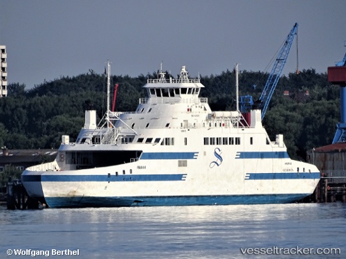
Find the position of the vessel KAMUTIK W on the map. The latter are known coordinates and path.
marine traffic ship tracker show on live map
The current position of vessel KAMUTIK W is 53.34441 lat / -60.40045 lng. Updated: 2025-10-01 21:08:37 UTCCurrently sailing under the flag of Canada
KAMUTIK W built in 2011 year
Deadweight:
900 tDetails:
Last coordinates of the vessel:
UTC, 53.34444, -60.40044, course: 214, speed: 0UTC, 53.34446, -60.40041, course: 214, speed: 0
UTC, 53.34441, -60.40045, course: 214, speed: 0
2025-10-01 21:08:37 UTC, 53.34441, -60.40045, course: 214, speed: 0