 vesseltracker.com
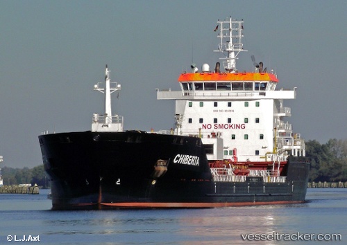
Vessel ALGOBERTA IMO: 9333814, MMSI: 316051091 Chemical/Oil Products Tanker
UTC, 42.53690, -82.62865, course: 64, speed: 8
UTC, 42.75322, -82.47430, course: 26, speed: 9.6
2026-01-30 22:00:37 UTC, 43.03500, -82.41607, course: 0, speed: 8.4
Live AIS position:
UTC. Near Fort Gratiot),
updated 2026-01-30 22:00:37 UTC.
Find the position of the vessel ALGOBERTA on the map. The latter are known coordinates and path.
marine traffic ship tracker show on live map
The current position of vessel ALGOBERTA is 43.03500 lat / -82.41607 lng. Updated: 2026-01-30 22:00:37 UTCCurrently sailing under the flag of Canada
ALGOBERTA built in 2007 year
Deadweight:
18734 tDetails:
Last coordinates of the vessel:
UTC, 42.30851, -83.07910, course: 46, speed: 10.5UTC, 42.53690, -82.62865, course: 64, speed: 8
UTC, 42.75322, -82.47430, course: 26, speed: 9.6
2026-01-30 22:00:37 UTC, 43.03500, -82.41607, course: 0, speed: 8.4