 vesseltracker.com
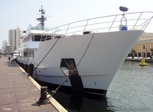
Vessel Batai IMO: 9693343, MMSI: 319224000 Service Ship
UTC, 19.19939, -104.69042, course: 280, speed: 0
UTC, 19.19921, -104.69042, course: 284, speed: 0.2
2026-01-28 04:41:59 UTC, 19.19902, -104.69059, course: 315, speed: 0.1
Live AIS position:
UTC. Near BARRA DE NAVIDAD),
updated 2026-01-28 04:41:59 UTC.
Find the position of the vessel Batai on the map. The latter are known coordinates and path.
marine traffic ship tracker show on live map
The current position of vessel Batai is 19.19902 lat / -104.69059 lng. Updated: 2026-01-28 04:41:59 UTCDetails:
Last coordinates of the vessel:
UTC, 19.19928, -104.68958, course: 283, speed: 0.6UTC, 19.19939, -104.69042, course: 280, speed: 0
UTC, 19.19921, -104.69042, course: 284, speed: 0.2
2026-01-28 04:41:59 UTC, 19.19902, -104.69059, course: 315, speed: 0.1