 vesseltracker.com
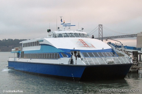
Vessel Golden Gate IMO: 9183207, MMSI: 366778450 Passenger Ship
UTC, 37.80845, -122.37917, course: 342, speed: 30
UTC, 37.80662, -122.38804, course: 174, speed: 30.7
2026-01-28 17:44:11 UTC, 37.94531, -122.50871, course: 318, speed: 0
Live AIS position:
UTC. Near Green Brae),
updated 2026-01-28 17:44:11 UTC.
Find the position of the vessel Golden Gate on the map. The latter are known coordinates and path.
marine traffic ship tracker show on live map
The current position of vessel Golden Gate is 37.94531 lat / -122.50871 lng. Updated: 2026-01-28 17:44:11 UTCDetails:
Last coordinates of the vessel:
UTC, 37.94416, -122.50796, course: 269, speed: 5.5UTC, 37.80845, -122.37917, course: 342, speed: 30
UTC, 37.80662, -122.38804, course: 174, speed: 30.7
2026-01-28 17:44:11 UTC, 37.94531, -122.50871, course: 318, speed: 0