 vesseltracker.com
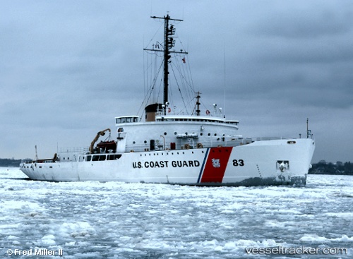
Find the position of the vessel Cg Mackinaw on the map. The latter are known coordinates and path.
marine traffic ship tracker show on live map
The current position of vessel Cg Mackinaw is 45.6528 lat / -84.4672 lng. Updated: 2025-08-23 19:47:57 UTCDetails:
Last coordinates of the vessel:
UTC, 45.6529, -84.4672, course: 32, speed: 0UTC, 45.6528, -84.4672, course: 32, speed: 0
UTC, 45.6528, -84.4672, course: 32, speed: 0
2025-08-23 19:47:57 UTC, 45.6528, -84.4672, course: 32, speed: 0
Track of the vessel in the last 14 days
The ship also appears on the maps: