 vesseltracker.com
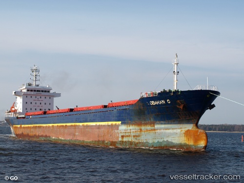
Vessel Ata IMO: 9521899, MMSI: 370429000 Bulk Carrier
UTC, 42.16000, 41.61833, course: -1, speed: 0
UTC, 42.15989, 41.61930, course: 132, speed: 0.1
2026-01-31 15:30:24 UTC, 42.15915, 41.61862, course: 108, speed: 0.2
Live AIS position:
UTC. Near Poti),
updated 2026-01-31 15:30:24 UTC.
Find the position of the vessel Ata on the map. The latter are known coordinates and path.
marine traffic ship tracker show on live map
The current position of vessel Ata is 42.15915 lat / 41.61862 lng. Updated: 2026-01-31 15:30:24 UTCCurrently sailing under the flag of Panama
Ata built in 2009 year
Deadweight:
17795 tDetails:
Last coordinates of the vessel:
UTC, 42.15958, 41.61895, course: 109, speed: 0.5UTC, 42.16000, 41.61833, course: -1, speed: 0
UTC, 42.15989, 41.61930, course: 132, speed: 0.1
2026-01-31 15:30:24 UTC, 42.15915, 41.61862, course: 108, speed: 0.2