 vesseltracker.com
Live AIS position:
34.06421° S, 59.03508° W UTC. Near Zarate),
updated 2025-11-24 04:29:21 UTC.
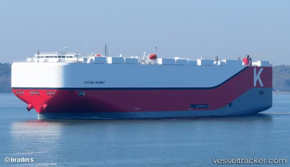
Find the position of the vessel Victoria Highway on the map. The latter are known coordinates and path.
marine traffic ship tracker show on live map
The current position of vessel Victoria Highway is -34.06421 lat / -59.03508 lng. Updated: 2025-11-24 04:29:21 UTCCurrently sailing under the flag of Panama
Details:
Last coordinates of the vessel:
UTC, -34.06424, -59.03509, course: 150, speed: 0UTC, -34.06421, -59.03510, course: 150, speed: 0
UTC, -34.06419, -59.03508, course: 150, speed: 0
2025-11-24 04:29:21 UTC, -34.06421, -59.03508, course: 150, speed: 0