 vesseltracker.com
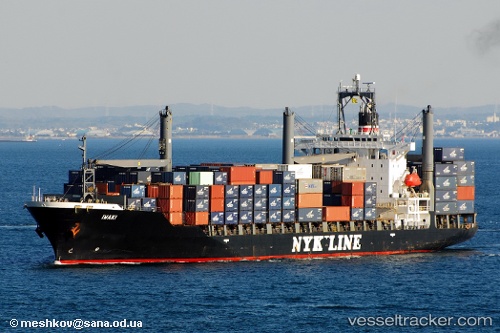
Vessel Libra IMO: 9137571, MMSI: 377782000 Container Ship
UTC, 27.09089, 56.06550, course: 332, speed: 4.2
UTC, 27.09838, 56.05864, course: 154, speed: 0
2026-01-25 16:08:13 UTC, 27.09838, 56.05864, course: 154, speed: 0
Live AIS position:
UTC. Near Shahid Rajaee Pt/Bandar Abbas),
updated 2026-01-25 16:08:13 UTC.
Find the position of the vessel Libra on the map. The latter are known coordinates and path.
marine traffic ship tracker show on live map
The current position of vessel Libra is 27.09838 lat / 56.05864 lng. Updated: 2026-01-25 16:08:13 UTCCurrently sailing under the flag of St Vincent Grenadines
Libra built in 1997 year
Deadweight:
24383 tDetails:
Last coordinates of the vessel:
UTC, 27.06538, 56.18167, course: 323, speed: 2.3UTC, 27.09089, 56.06550, course: 332, speed: 4.2
UTC, 27.09838, 56.05864, course: 154, speed: 0
2026-01-25 16:08:13 UTC, 27.09838, 56.05864, course: 154, speed: 0