 vesseltracker.com
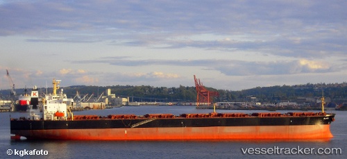
Vessel Yi Peng IMO: 9224996, MMSI: 414266000 Bulk Carrier
UTC, 4.21139, 103.55984, course: 32, speed: 0
UTC, 4.21140, 103.55992, course: 33, speed: 0
2026-01-28 07:21:06 UTC, 4.21138, 103.55994, course: 32, speed: 0
Live AIS position:
UTC. Near KEMAMAN),
updated 2026-01-28 07:21:06 UTC.
Find the position of the vessel Yi Peng on the map. The latter are known coordinates and path.
marine traffic ship tracker show on live map
The current position of vessel Yi Peng is 4.21138 lat / 103.55994 lng. Updated: 2026-01-28 07:21:06 UTCCurrently sailing under the flag of China
Yi Peng built in 2001 year
Deadweight:
75169 tDetails:
Last coordinates of the vessel:
UTC, 4.21152, 103.55950, course: 37, speed: 0UTC, 4.21139, 103.55984, course: 32, speed: 0
UTC, 4.21140, 103.55992, course: 33, speed: 0
2026-01-28 07:21:06 UTC, 4.21138, 103.55994, course: 32, speed: 0