 vesseltracker.com
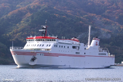
Find the position of the vessel Ferry Oki on the map. The latter are known coordinates and path.
marine traffic ship tracker show on live map
The current position of vessel Ferry Oki is 35.57178 lat / 133.23007 lng. Updated: 2025-10-09 08:57:03 UTCDetails:
Last coordinates of the vessel:
UTC, 35.57178, 133.23007, course: 82, speed: 0UTC, 35.57178, 133.23007, course: 82, speed: 0
UTC, 35.57178, 133.23007, course: 82, speed: 0
2025-10-09 08:57:03 UTC, 35.57178, 133.23007, course: 82, speed: 0