 vesseltracker.com
Find the position of the vessel SEIN KASAMA on the map. The latter are known coordinates and path.
marine traffic ship tracker show on live map
The current position of vessel SEIN KASAMA is 6.02963 lat / 125.14499 lng. Updated: 2025-10-26 22:47:26 UTCCurrently sailing under the flag of Korea (Republic of)
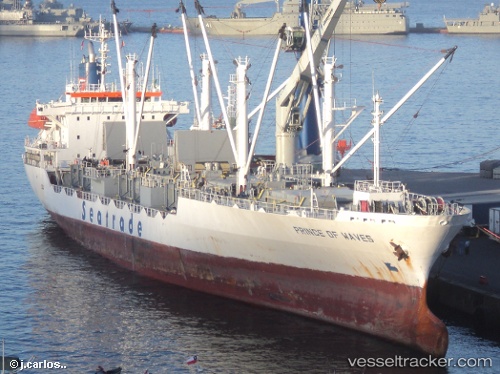
SEIN KASAMA built in 1993 year
Deadweight:
8039 tDetails:
Last coordinates of the vessel:
UTC, 6.02962, 125.14500, course: 10, speed: 0UTC, 6.02965, 125.14496, course: 10, speed: 0
UTC, 6.02962, 125.14498, course: 10, speed: 0
2025-10-26 22:47:26 UTC, 6.02963, 125.14499, course: 10, speed: 0