 vesseltracker.com
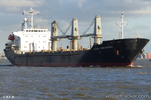
Find the position of the vessel Ganosaya on the map. The latter are known coordinates and path.
marine traffic ship tracker show on live map
The current position of vessel Ganosaya is 40.9438 lat / 28.8472 lng. Updated: 2025-09-09 04:46:13 UTCCurrently sailing under the flag of Cook Is
Ganosaya built in 1997 year
Deadweight:
18369 tDetails:
Last coordinates of the vessel:
UTC, 40.9442, 28.847, course: 236, speed: 0UTC, 40.9433, 28.8467, course: -1, speed: 0
UTC, 40.9441, 28.8472, course: 242, speed: 0
2025-09-09 04:46:13 UTC, 40.9438, 28.8472, course: 263, speed: 0
Track of the vessel in the last 14 days
The ship also appears on the maps: