 vesseltracker.com
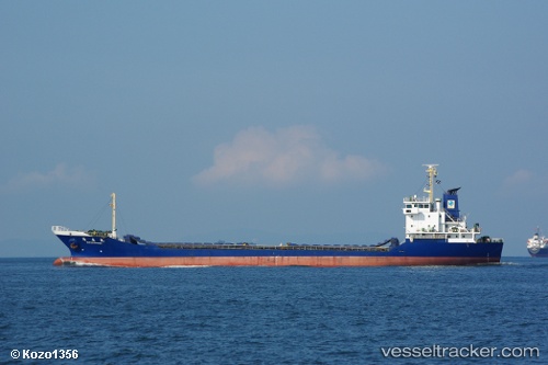
Vessel Maximus 999 IMO: 9153915, MMSI: 525005401 General Cargo Ship
UTC, -3.29562, 116.10450, course: -1, speed: 0
UTC, -3.29570, 116.10430, course: -1, speed: 0
2026-01-13 09:16:17 UTC, -3.29530, 116.10427, course: -1, speed: 0
Live AIS position:
UTC. Near LANGADAI),
updated 2026-01-13 09:16:17 UTC.
Find the position of the vessel Maximus 999 on the map. The latter are known coordinates and path.
marine traffic ship tracker show on live map
The current position of vessel Maximus 999 is -3.29530 lat / 116.10427 lng. Updated: 2026-01-13 09:16:17 UTCCurrently sailing under the flag of Indonesia
Details:
Last coordinates of the vessel:
UTC, -3.29543, 116.10463, course: -1, speed: 0.1UTC, -3.29562, 116.10450, course: -1, speed: 0
UTC, -3.29570, 116.10430, course: -1, speed: 0
2026-01-13 09:16:17 UTC, -3.29530, 116.10427, course: -1, speed: 0