 vesseltracker.com
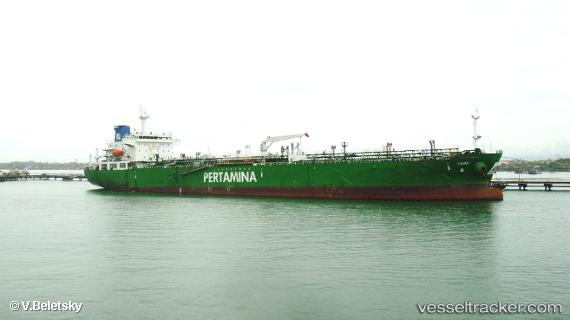
Find the position of the vessel Mt Sambu on the map. The latter are known coordinates and path.
marine traffic ship tracker show on live map
The current position of vessel Mt Sambu is -7.7633333333333 lat / 109.06666666667 lng. Updated: 2025-11-03 10:58:24 UTCCurrently sailing under the flag of Indonesia
Mt Sambu built in 2011 year
Deadweight:
29756 tDetails:
Last coordinates of the vessel:
UTC, -7.76379, 109.06882, course: 170, speed: 0.2UTC, -7.7633333333333, 109.06833333333, course: -1, speed: 0
UTC, -7.7633333333333, 109.06833333333, course: -1, speed: 0
2025-11-03 10:58:24 UTC, -7.7633333333333, 109.06666666667, course: -1, speed: 0