 vesseltracker.com
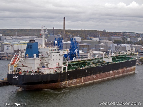
Vessel Queen Protocol IMO: 9260031, MMSI: 525111005 Crude Oil Tanker
UTC, -4.02900, 116.03450, course: 266, speed: 0
UTC, -4.02917, 116.03450, course: 266, speed: 0.1
2026-01-29 02:21:57 UTC, -4.02917, 116.03450, course: 266, speed: 0.1
Live AIS position:
UTC. Near MEKAR PUTIH),
updated 2026-01-29 02:21:57 UTC.
Find the position of the vessel Queen Protocol on the map. The latter are known coordinates and path.
marine traffic ship tracker show on live map
The current position of vessel Queen Protocol is -4.02917 lat / 116.03450 lng. Updated: 2026-01-29 02:21:57 UTCCurrently sailing under the flag of Indonesia
Queen Protocol built in 2003 year
Deadweight:
37330 tDetails:
Last coordinates of the vessel:
UTC, -4.02900, 116.03450, course: 265, speed: 0.1UTC, -4.02900, 116.03450, course: 266, speed: 0
UTC, -4.02917, 116.03450, course: 266, speed: 0.1
2026-01-29 02:21:57 UTC, -4.02917, 116.03450, course: 266, speed: 0.1