 vesseltracker.com
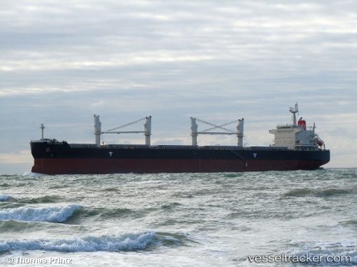
Vessel NATASCHA IMO: 9478561, MMSI: 525120016 Bulk Carrier
UTC, -1.15610, 117.25988, course: 193, speed: 0.1
UTC, -1.15982, 117.26113, course: 342, speed: 0.3
2026-01-27 21:52:42 UTC, -1.16027, 117.25983, course: 351, speed: 0.4
Live AIS position:
UTC. Near Senipah Oil Terminal),
updated 2026-01-27 21:52:42 UTC.
Find the position of the vessel NATASCHA on the map. The latter are known coordinates and path.
marine traffic ship tracker show on live map
The current position of vessel NATASCHA is -1.16027 lat / 117.25983 lng. Updated: 2026-01-27 21:52:42 UTCCurrently sailing under the flag of Indonesia
NATASCHA built in 2010 year
Deadweight:
55947 tDetails:
Last coordinates of the vessel:
UTC, -1.15680, 117.26078, course: 228, speed: 0.1UTC, -1.15610, 117.25988, course: 193, speed: 0.1
UTC, -1.15982, 117.26113, course: 342, speed: 0.3
2026-01-27 21:52:42 UTC, -1.16027, 117.25983, course: 351, speed: 0.4