 vesseltracker.com
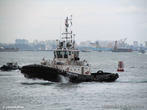
Vessel Tag Nur 12 IMO: 9149160, MMSI: 533130573 Tug
UTC, 2.40798, 101.81952, course: -1, speed: 5.1
UTC, 2.36869, 101.90611, course: -1, speed: 5.9
2026-01-28 10:20:34 UTC, 2.35432, 101.96016, course: -1, speed: 0
Live AIS position:
UTC. 12 nm NW of SUNGAI UDANG),
updated 2026-01-28 10:20:34 UTC.
Find the position of the vessel Tag Nur 12 on the map. The latter are known coordinates and path.
marine traffic ship tracker show on live map
The current position of vessel Tag Nur 12 is 2.35432 lat / 101.96016 lng. Updated: 2026-01-28 10:20:34 UTCDetails:
Last coordinates of the vessel:
UTC, 2.56190, 101.73535, course: -1, speed: 5.4UTC, 2.40798, 101.81952, course: -1, speed: 5.1
UTC, 2.36869, 101.90611, course: -1, speed: 5.9
2026-01-28 10:20:34 UTC, 2.35432, 101.96016, course: -1, speed: 0