 vesseltracker.com
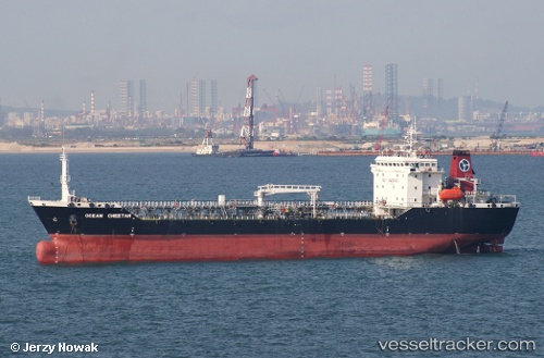
Find the position of the vessel 'MK ENERGY DUA' on the map. The latter are known coordinates and path.
marine traffic ship tracker show on live map
The current position of vessel 'MK ENERGY DUA' is 3.0858116666667 lat / 101.33539333333 lng. Updated: 2025-10-09 03:46:37 UTCDetails:
Last coordinates of the vessel:
UTC, 3.0838833333333, 101.33661166667, course: 10, speed: 0.1UTC, 3.08564, 101.33582833333, course: 116, speed: 0
UTC, 3.0857533333333, 101.33586166667, course: 123, speed: 0
2025-10-09 03:46:37 UTC, 3.0858116666667, 101.33539333333, course: 140, speed: 0.1