 vesseltracker.com
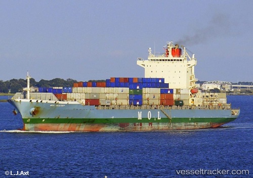
Find the position of the vessel Navios Destiny on the map. The latter are known coordinates and path.
marine traffic ship tracker show on live map
The current position of vessel Navios Destiny is 6.24345 lat / 3.42737 lng. Updated: 2025-02-22 12:27:43 UTCCurrently sailing under the flag of Marshall Is
Navios Destiny built in 2009 year
Port of registry:
Majuro (capital of the Marshall Islands)Deadweight:
50638 tGross tonnage:
39906Service entry:
2009-01-01T00:00:00ZDetails:
Last coordinates of the vessel:
UTC, 5.87007, 2.37943, course: 79, speed: 17.4UTC, 5.9575, 2.75983, course: 80, speed: 17.6
UTC, 6.05516, 3.12082, course: 72, speed: 17.4
2025-02-22 12:27:43 UTC, 6.24345, 3.42737, course: 15, speed: 13.6