 vesseltracker.com
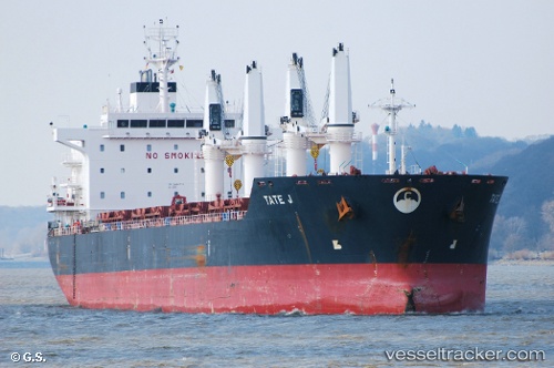
Find the position of the vessel Tate J on the map. The latter are known coordinates and path.
marine traffic ship tracker show on live map
The current position of vessel Tate J is 52.6117 lat / -9.10333 lng. Updated: 2025-08-12 05:45:09 UTCCurrently sailing under the flag of Marshall Is
Tate J built in 2012 year
Deadweight:
34439 tDetails:
Last coordinates of the vessel:
UTC, 52.6133, -9.10333, course: -1, speed: 0UTC, 52.6133, -9.10333, course: -1, speed: 0
UTC, 52.6133, -9.10333, course: -1, speed: 0
2025-08-12 05:45:09 UTC, 52.6117, -9.10333, course: -1, speed: 0