 vesseltracker.com
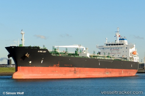
Find the position of the vessel Alpine Light on the map. The latter are known coordinates and path.
marine traffic ship tracker show on live map
The current position of vessel Alpine Light is 30.0767 lat / -94.0651 lng. Updated: 2025-04-19 14:59:46 UTCCurrently sailing under the flag of Marshall Is
Alpine Light built in 2010 year
Port of registry:
Majuro (capital of the Marshall Islands)Deadweight:
50238 tPayload_mass:
50238 tonneGross tonnage:
29981Service entry:
2010-01-01T00:00:00ZManufacturer:
SPP Shipbuilding Co., Ltd. (shipyard)Details:
Last coordinates of the vessel:
UTC, 30.0767, -94.0651, course: 107, speed: 0UTC, 30.0767, -94.0651, course: 107, speed: 0
UTC, 30.0768, -94.065, course: 107, speed: 0
2025-04-19 14:59:46 UTC, 30.0767, -94.0651, course: 107, speed: 0