 vesseltracker.com
Find the position of the vessel Joyce on the map. The latter are known coordinates and path.
marine traffic ship tracker show on live map
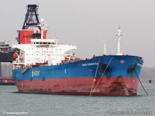
The current position of vessel Joyce is 32.1761 lat / 19.9329 lng. Updated: 2025-05-07 00:40:55 UTCPort of registry:
Majuro (capital of the Marshall Islands)Payload_mass:
47344 tonneGross tonnage:
26900Beam:
32.23 metreService entry:
2007-01-01T00:00:00ZManufacturer:
Onomichi Dockyard (shipyard in Japan)Details:
Last coordinates of the vessel:
UTC, 32.176, 19.9327, course: 131, speed: 0UTC, 32.1759, 19.9327, course: 132, speed: 0
UTC, 32.1759, 19.9326, course: 133, speed: 0
2025-05-07 00:40:55 UTC, 32.1761, 19.9329, course: 140, speed: 0