 vesseltracker.com
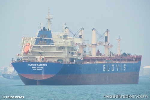
Vessel PRINCESS JOANNA IMO: 9610987, MMSI: 538009103 Bulk Carrier
UTC, -18.82167, 58.85667, course: -1, speed: 9
UTC, -18.54555, 59.26581, course: 54, speed: 9.6
2026-01-30 08:13:16 UTC, -18.38732, 59.51850, course: 47, speed: 9.7
Live AIS position:
UTC. 145 nm NE of Cap Malheureux),
updated 2026-01-30 08:13:16 UTC.
Find the position of the vessel PRINCESS JOANNA on the map. The latter are known coordinates and path.
marine traffic ship tracker show on live map
The current position of vessel PRINCESS JOANNA is -18.38732 lat / 59.51850 lng. Updated: 2026-01-30 08:13:16 UTCCurrently sailing under the flag of Marshall Islands
PRINCESS JOANNA built in 2012 year
Deadweight:
56670 tDetails:
Last coordinates of the vessel:
UTC, -18.94004, 58.66584, course: 55, speed: 9.4UTC, -18.82167, 58.85667, course: -1, speed: 9
UTC, -18.54555, 59.26581, course: 54, speed: 9.6
2026-01-30 08:13:16 UTC, -18.38732, 59.51850, course: 47, speed: 9.7