 vesseltracker.com
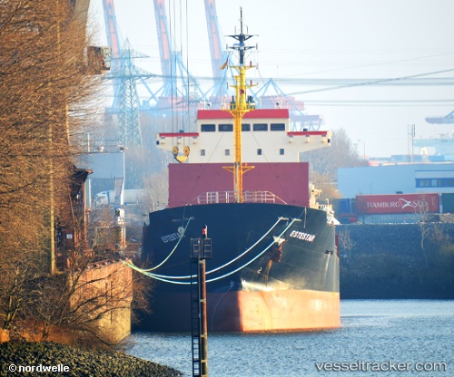
Find the position of the vessel Alexia I on the map. The latter are known coordinates and path.
marine traffic ship tracker show on live map
The current position of vessel Alexia I is 32.943333333333 lat / 13.185 lng. Updated: 2025-10-24 00:29:32 UTCCurrently sailing under the flag of Marshall Islands
Details:
Last coordinates of the vessel:
UTC, 32.943333333333, 13.185, course: -1, speed: 0UTC, 32.943333333333, 13.185, course: -1, speed: 0
UTC, 32.943868333333, 13.185503333333, course: 120, speed: 0.1
2025-10-24 00:29:32 UTC, 32.943333333333, 13.185, course: -1, speed: 0