 vesseltracker.com
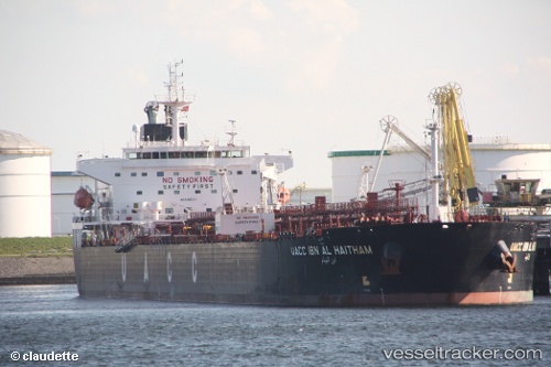
Find the position of the vessel UOG HARRIET G on the map. The latter are known coordinates and path.
marine traffic ship tracker show on live map
The current position of vessel UOG HARRIET G is 4.15985 lat / 99.7442 lng. Updated: 2025-09-13 12:15:18 UTCCurrently sailing under the flag of Marshall Islands
UOG HARRIET G built in 2009 year
Deadweight:
73338 tDetails:
Last coordinates of the vessel:
UTC, 3.67502, 100.219, course: 317, speed: 11.8UTC, 3.80184, 100.123, course: 317, speed: 11.2
UTC, 4.06096, 99.8444, course: 308, speed: 11.3
2025-09-13 12:15:18 UTC, 4.15985, 99.7442, course: 318, speed: 11.5