 vesseltracker.com
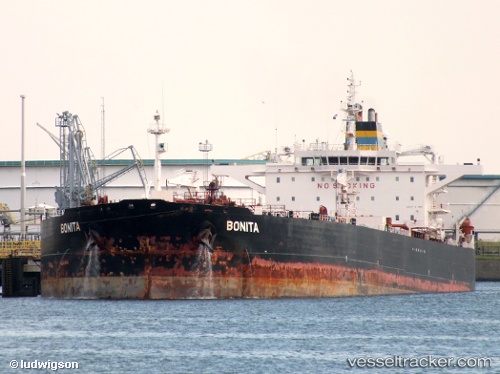
Find the position of the vessel BONITA on the map. The latter are known coordinates and path.
marine traffic ship tracker show on live map
The current position of vessel BONITA is 60.3042 lat / 28.6138 lng. Updated: 2025-05-17 18:03:34 UTCCurrently sailing under the flag of Marshall Islands
BONITA built in 2006 year
Deadweight:
108386 tPayload_mass:
108386 tonneGross tonnage:
58054Service entry:
2006-01-01T00:00:00ZManufacturer:
HD Hyundai Mipo (South Korean shipbuilding company)Details:
Last coordinates of the vessel:
2025-05-17 18:03:34 UTC, 60.3042, 28.6138, course: 142, speed: 37Track of the vessel in the last 14 days
The ship also appears on the maps: