 vesseltracker.com
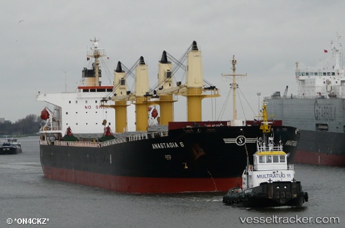
Find the position of the vessel PARAS on the map. The latter are known coordinates and path.
marine traffic ship tracker show on live map
The current position of vessel PARAS is 6.34848 lat / 2.42897 lng. Updated: 2025-07-22 02:17:59 UTCCurrently sailing under the flag of Marshall Islands
PARAS built in 2004 year
Deadweight:
52808 tDetails:
Last coordinates of the vessel:
UTC, 6.34853, 2.42895, course: -1, speed: 0UTC, 6.34853, 2.42898, course: -1, speed: 0
UTC, 6.34853, 2.42898, course: -1, speed: 0.1
2025-07-22 02:17:59 UTC, 6.34848, 2.42897, course: -1, speed: 0.1