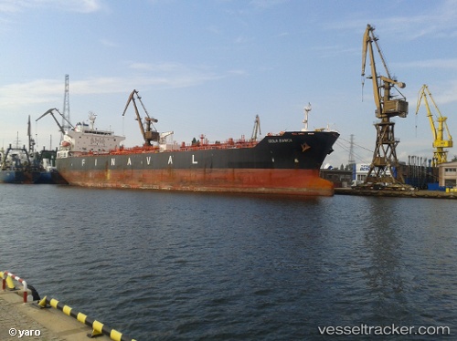
 vesseltracker.com
Live AIS position:
37.90058° N, 23.05695° E UTC. Near Soussaki),
updated 2025-11-23 13:29:30 UTC.
Find the position of the vessel SKYLIGHT on the map. The latter are known coordinates and path.
marine traffic ship tracker show on live map
The current position of vessel SKYLIGHT is 37.90058 lat / 23.05695 lng. Updated: 2025-11-23 13:29:30 UTCCurrently sailing under the flag of Marshall Is
SKYLIGHT built in 0 year
Deadweight:
0 tDetails:
Last coordinates of the vessel:
UTC, 37.90155, 23.05748, course: 282, speed: 0.6UTC, 37.90117, 23.05729, course: 286, speed: 0.5
UTC, 37.90059, 23.05667, course: 334, speed: 0.2
2025-11-23 13:29:30 UTC, 37.90058, 23.05695, course: 336, speed: 0