 vesseltracker.com
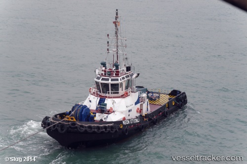
Find the position of the vessel KORANGA on the map. The latter are known coordinates and path.
marine traffic ship tracker show on live map
The current position of vessel KORANGA is -9.4256033333333 lat / 147.09981833333 lng. Updated: 2025-10-28 16:23:03 UTCCurrently sailing under the flag of Papua New Guinea
KORANGA built in 2003 year
Deadweight:
200 tDetails:
Last coordinates of the vessel:
UTC, -9.425, 147.09833333333, course: -1, speed: 0UTC, -9.425, 147.09833333333, course: -1, speed: 0
UTC, -9.425, 147.09833333333, course: -1, speed: 0
2025-10-28 16:23:03 UTC, -9.4256033333333, 147.09981833333, course: -1, speed: 0