 vesseltracker.com
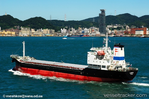
Find the position of the vessel GLORY STAR on the map. The latter are known coordinates and path.
marine traffic ship tracker show on live map
The current position of vessel GLORY STAR is 36.1936 lat / 125.431 lng. Updated: 2025-02-22 10:28:18 UTCPayload_mass:
6723 tonneGross tonnage:
4562Service entry:
2004-01-01T00:00:00ZDetails:
Last coordinates of the vessel:
UTC, 35.9892, 126.048, course: 287, speed: 10.9UTC, 36.0416, 125.823, course: 284, speed: 10.5
UTC, 36.1759, 125.484, course: 295, speed: 11.3
2025-02-22 10:28:18 UTC, 36.1936, 125.431, course: 295, speed: 11.1