 vesseltracker.com
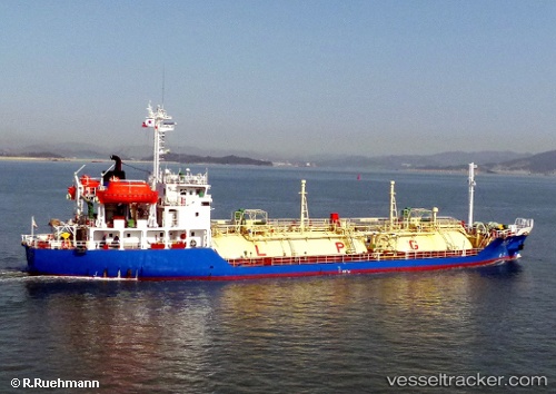
Vessel '567071700' IMO: 9114646, MMSI: 567071700
UTC, 12.59834, 101.13018, course: 137, speed: 0
UTC, 12.59823, 101.13008, course: 119, speed: 0.1
2026-01-28 18:19:17 UTC, 12.59840, 101.13026, course: 144, speed: 0
Live AIS position:
UTC. Near Map Ta Phut),
updated 2026-01-28 18:19:17 UTC.
Find the position of the vessel '567071700' on the map. The latter are known coordinates and path.
marine traffic ship tracker show on live map
The current position of vessel '567071700' is 12.59840 lat / 101.13026 lng. Updated: 2026-01-28 18:19:17 UTCDetails:
Last coordinates of the vessel:
UTC, 12.59825, 101.13111, course: 232, speed: 0.1UTC, 12.59834, 101.13018, course: 137, speed: 0
UTC, 12.59823, 101.13008, course: 119, speed: 0.1
2026-01-28 18:19:17 UTC, 12.59840, 101.13026, course: 144, speed: 0