 vesseltracker.com
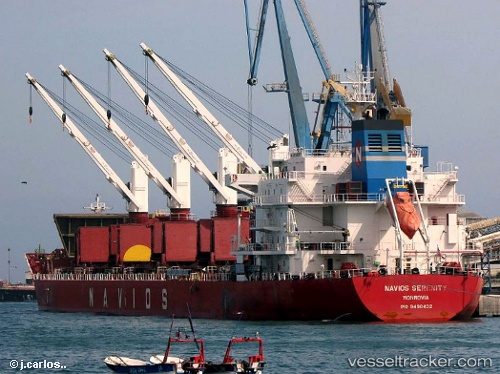
Find the position of the vessel TINA S on the map. The latter are known coordinates and path.
marine traffic ship tracker show on live map
The current position of vessel TINA S is 30.4256 lat / -9.64763 lng. Updated: 2025-09-02 17:56:35 UTCCurrently sailing under the flag of Liberia
TINA S built in 2011 year
Deadweight:
34690 tDetails:
Last coordinates of the vessel:
UTC, 30.4256, -9.64769, course: 324, speed: 0UTC, 30.4256, -9.64765, course: 324, speed: 0
UTC, 30.4257, -9.64765, course: 324, speed: 0
2025-09-02 17:56:35 UTC, 30.4256, -9.64763, course: 324, speed: 0
Track of the vessel in the last 14 days
The ship also appears on the maps: