 vesseltracker.com
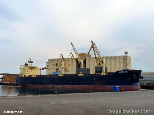
Find the position of the vessel Star Bright on the map. The latter are known coordinates and path.
marine traffic ship tracker show on live map
The current position of vessel Star Bright is 55.4826 lat / 5.89383 lng. Updated: 2025-05-09 05:34:59 UTCCurrently sailing under the flag of Liberia
Star Bright built in 2010 year
Deadweight:
55783 tPayload_mass:
55542 tonneGross tonnage:
32672Service entry:
2010-01-01T00:00:00ZDetails:
Last coordinates of the vessel:
UTC, 55.397, 5.80176, course: 25, speed: 10.8UTC, 55.4826, 5.89383, course: 29, speed: 10.7
UTC, 55.4826, 5.89383, course: 29, speed: 10.7
2025-05-09 05:34:59 UTC, 55.4826, 5.89383, course: 29, speed: 10.7