 vesseltracker.com
Find the position of the vessel VALENCIA ELIZABETH D on the map. The latter are known coordinates and path.
marine traffic ship tracker show on live map
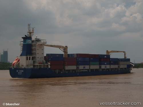
The current position of vessel VALENCIA ELIZABETH D is 44.7973 lat / 30.8855 lng. Updated: 2025-03-31 12:18:23 UTCCurrently sailing under the flag of Liberia
VALENCIA ELIZABETH D built in 2006 year
Port of registry:
Singapore (sovereign island country and city-state in maritime Southeast Asia)Deadweight:
13797 tPayload_mass:
13797 tonneGross tonnage:
9957Service entry:
2006-01-01T00:00:00ZManufacturer:
CSC Jinling (shipyard in Nanjing).jpg)
Details:
Last coordinates of the vessel:
UTC, 42.8006, 33.2659, course: 295, speed: 12UTC, 44.6714, 31.2272, course: 299, speed: 11.6
UTC, 44.7113, 31.1231, course: 300, speed: 11.4
2025-03-31 12:18:23 UTC, 44.7973, 30.8855, course: 297, speed: 10.6
Track of the vessel in the last 14 days