 vesseltracker.com
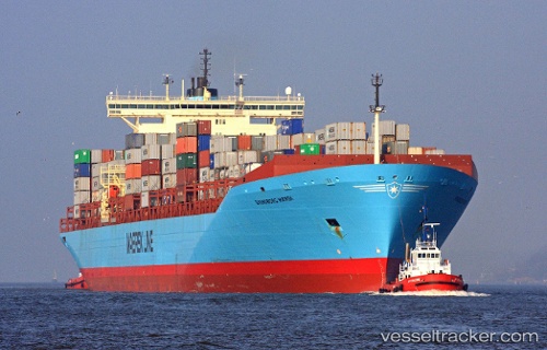
Vessel MSC YUKTA X IMO: 9146467, MMSI: 636022658 Container Ship
UTC, 18.42811, -69.63100, course: 348, speed: 0
UTC, 18.42809, -69.63099, course: 348, speed: 0
2026-01-29 00:14:37 UTC, 18.42810, -69.63100, course: 348, speed: 0
Live AIS position:
UTC. Near Caucedo),
updated 2026-01-29 00:14:37 UTC.
Find the position of the vessel MSC YUKTA X on the map. The latter are known coordinates and path.
marine traffic ship tracker show on live map
The current position of vessel MSC YUKTA X is 18.42810 lat / -69.63100 lng. Updated: 2026-01-29 00:14:37 UTCCurrently sailing under the flag of Liberia
MSC YUKTA X built in 1998 year
Deadweight:
119954 tDetails:
Last coordinates of the vessel:
UTC, 18.42811, -69.63099, course: 348, speed: 0UTC, 18.42811, -69.63100, course: 348, speed: 0
UTC, 18.42809, -69.63099, course: 348, speed: 0
2026-01-29 00:14:37 UTC, 18.42810, -69.63100, course: 348, speed: 0