 vesseltracker.com
Live AIS position:
51.49684° N, 2.71722° W UTC. Near PORTBURY),
updated 2025-11-21 11:56:43 UTC.
Find the position of the vessel BELMONTE on the map. The latter are known coordinates and path.
marine traffic ship tracker show on live map
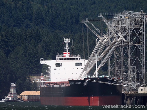
The current position of vessel BELMONTE is 51.49684 lat / -2.71722 lng. Updated: 2025-11-21 11:56:43 UTCCurrently sailing under the flag of Liberia
BELMONTE built in 2014 year
Deadweight:
81344 tDetails:
Last coordinates of the vessel:
UTC, 51.49687, -2.71724, course: 133, speed: 0UTC, 51.49677, -2.71729, course: 133, speed: 0
UTC, 51.49684, -2.71724, course: 133, speed: 0
2025-11-21 11:56:43 UTC, 51.49684, -2.71722, course: 133, speed: 0