 vesseltracker.com
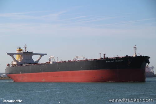
Vessel TULJA TANVI IMO: 9297539, MMSI: 657239800 FSO, Oil
UTC, 5.08779, 5.21056, course: 359, speed: 0.3
UTC, 5.08763, 5.21072, course: 359, speed: 0.3
2026-01-28 16:03:12 UTC, 5.08878, 5.21314, course: 303, speed: 0.3
Live AIS position:
UTC. Near Forcados Offshore Terminal),
updated 2026-01-28 16:03:12 UTC.
Find the position of the vessel TULJA TANVI on the map. The latter are known coordinates and path.
marine traffic ship tracker show on live map
The current position of vessel TULJA TANVI is 5.08878 lat / 5.21314 lng. Updated: 2026-01-28 16:03:12 UTCCurrently sailing under the flag of Nigeria
TULJA TANVI built in 2004 year
Deadweight:
318824 tDetails:
Last coordinates of the vessel:
UTC, 5.08842, 5.21260, course: 322, speed: 0.3UTC, 5.08779, 5.21056, course: 359, speed: 0.3
UTC, 5.08763, 5.21072, course: 359, speed: 0.3
2026-01-28 16:03:12 UTC, 5.08878, 5.21314, course: 303, speed: 0.3