 vesseltracker.com
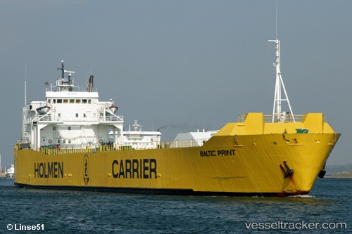
Vessel Lily J IMO: 7802079, MMSI: 671734000 Ro Ro Cargo Ship
UTC, 19.17333, 37.44667, course: -1, speed: 7
UTC, 19.43149, 37.65389, course: 24, speed: 7.3
2026-01-29 09:11:44 UTC, 19.51855, 37.71307, course: 23, speed: 7.1
Live AIS position:
UTC. 25 nm E of Marsa Bashayer),
updated 2026-01-29 09:11:44 UTC.
Find the position of the vessel Lily J on the map. The latter are known coordinates and path.
marine traffic ship tracker show on live map
The current position of vessel Lily J is 19.51855 lat / 37.71307 lng. Updated: 2026-01-29 09:11:44 UTCDetails:
Last coordinates of the vessel:
UTC, 19.12100, 37.35005, course: 223, speed: 0UTC, 19.17333, 37.44667, course: -1, speed: 7
UTC, 19.43149, 37.65389, course: 24, speed: 7.3
2026-01-29 09:11:44 UTC, 19.51855, 37.71307, course: 23, speed: 7.1