 vesseltracker.com
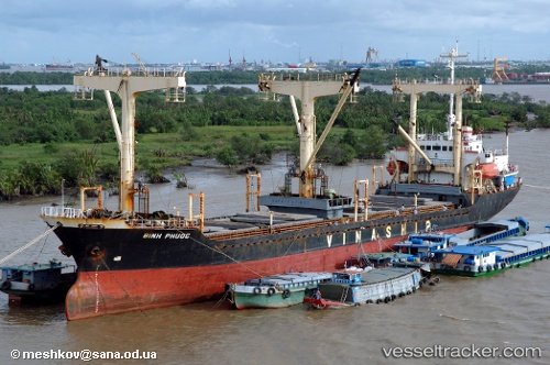
Vessel Sk Friendship IMO: 8909446, MMSI: 671954000 General Cargo Ship
UTC, 18.44067, -69.63087, course: 187, speed: 0
UTC, 18.44063, -69.63088, course: 187, speed: 0.1
2026-01-28 14:09:05 UTC, 18.44070, -69.63087, course: 188, speed: 0
Live AIS position:
UTC. Near Caucedo),
updated 2026-01-28 14:09:05 UTC.
Find the position of the vessel Sk Friendship on the map. The latter are known coordinates and path.
marine traffic ship tracker show on live map
The current position of vessel Sk Friendship is 18.44070 lat / -69.63087 lng. Updated: 2026-01-28 14:09:05 UTCDetails:
Last coordinates of the vessel:
UTC, 18.44068, -69.63087, course: 188, speed: 0UTC, 18.44067, -69.63087, course: 187, speed: 0
UTC, 18.44063, -69.63088, course: 187, speed: 0.1
2026-01-28 14:09:05 UTC, 18.44070, -69.63087, course: 188, speed: 0