 vesseltracker.com
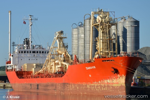
Vessel '210131000' IMO: 8221363, MMSI: 210131000
Live AIS position:
UTC. Near PERAMA),
updated 2025-12-10 08:43:03 UTC.
Find the position of the vessel '210131000' on the map. The latter are known coordinates and path.
marine traffic ship tracker show on live map
The current position of vessel '210131000' is 37.96085 lat / 23.55698 lng. Updated: 2025-12-10 08:43:03 UTCDetails:
Last coordinates of the vessel:
2025-12-10 08:43:03 UTC, 37.96085, 23.55698, course: 197, speed: 0