 vesseltracker.com
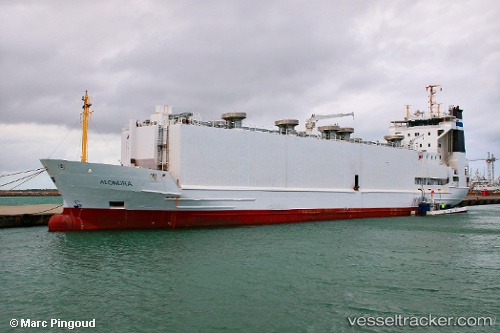
Vessel '219028212' IMO: 9113719, MMSI: 219028212
UTC, -4.85425, -30.48677, course: 203, speed: 12.9
UTC, -5.40029, -30.80361, course: 204, speed: 12.6
2026-02-01 07:57:25 UTC, -5.66167, -30.94833, course: -1, speed: 12
Live AIS position:
UTC. 141 nm SE of Fernando De Noronha),
updated 2026-02-01 07:57:25 UTC.
Find the position of the vessel '219028212' on the map. The latter are known coordinates and path.
marine traffic ship tracker show on live map
The current position of vessel '219028212' is -5.66167 lat / -30.94833 lng. Updated: 2026-02-01 07:57:25 UTCDetails:
Last coordinates of the vessel:
UTC, -4.85425, -30.48677, course: 203, speed: 12.9UTC, -4.85425, -30.48677, course: 203, speed: 12.9
UTC, -5.40029, -30.80361, course: 204, speed: 12.6
2026-02-01 07:57:25 UTC, -5.66167, -30.94833, course: -1, speed: 12