 vesseltracker.com
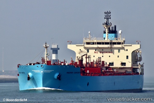
Vessel '219407000' IMO: 9786138, MMSI: 219407000
UTC, 29.36178, -89.45280, course: 245, speed: 11.2
UTC, 29.48167, -89.68817, course: 323, speed: 12.1
2026-02-01 17:30:14 UTC, 29.69387, -89.97285, course: 330, speed: 11.3
Live AIS position:
UTC. Near Myrtle Grove),
updated 2026-02-01 17:30:14 UTC.
Find the position of the vessel '219407000' on the map. The latter are known coordinates and path.
marine traffic ship tracker show on live map
The current position of vessel '219407000' is 29.69387 lat / -89.97285 lng. Updated: 2026-02-01 17:30:14 UTCDetails:
Last coordinates of the vessel:
UTC, 29.36178, -89.45280, course: 245, speed: 11.2UTC, 29.36178, -89.45280, course: 245, speed: 11.2
UTC, 29.48167, -89.68817, course: 323, speed: 12.1
2026-02-01 17:30:14 UTC, 29.69387, -89.97285, course: 330, speed: 11.3