vessel '405000333' IMO: 9668051, vesseltracker.com
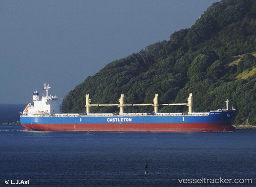
Vessel '405000333' IMO: 9668051,
MMSI: 405000333 callsign: size: x

Find the position of the vessel '405000333' on the map. The latter are known coordinates and path.

marine traffic ship tracker show on live map

The current position of vessel '405000333' is 27.4776 lat / -15.3448 lng. Updated: 2024-05-15 23:30:12 UTC
Payload_mass:
55905 tonne
Gross tonnage:
31877
Service entry:
2014-01-01T00:00:00Z
Details:


Last coordinates of the vessel:
UTC, 27.9014, -15.0991, course: 204, speed: 11
UTC, 27.8139, -15.1426, course: 212, speed: 11
UTC, 27.6463, -15.2436, course: 211, speed: 11.3
2024-05-15 23:30:12 UTC, 27.4776, -15.3448, course: 208, speed: 11.1

Track of the vessel in the last 14 days


Most frequent ports a vessels calls at '405000333' (405000333):

Sambu, traffic: 4
Douala, traffic: 3
Singapore, traffic: 3
Haldia, traffic: 3
Jubail, traffic: 3
Al Jubayl, traffic: 3
Port Louis, traffic: 2
Saldanha Bay, traffic: 2
Krishnapatnam, traffic: 2
Karachi, traffic: 2
Mina Saqr, traffic: 2
Algeciras, traffic: 1
Port Said, traffic: 1
Bur Ibrahim, traffic: 1
Cape Of Good Hope, traffic: 1

Link to the map:


Find another ship

'405000333' (405000333) last ports (portcalls and passsages)

Singapore | 2024-01-06 06:46:27
Paradip | 2023-12-29 09:28:44
Haldia | 2023-12-26 03:17:04
Krishnapatnam | 2023-12-16 13:01:01
Krishnapatnam | 2023-12-12 06:25:46
Algeciras | 2022-12-26 20:29:29
Port Said | 2022-12-16 08:18:17
Bur Ibrahim | 2022-12-02 02:16:50
Jubail | 2022-11-15 23:16:36
Jubail | 2022-11-11 20:46:42
Jubail | 2022-11-07 20:21:07
Singapore | 2022-09-30 04:47:06
Singapore | 2022-08-28 22:59:10
Cape Of Good Hope | 2022-08-04 07:47:52
Saldanha Bay | 2022-08-03 22:49:52
Saldanha Bay | 2022-07-26 23:11:14
Douala | 2022-07-11 13:02:02
Douala | 2022-07-07 10:36:46
Douala | 2022-07-03 07:21:53
Fujairah | 2022-06-08 10:38:58
Sambu | 2022-04-04 06:00:14
Mina Saqr | 2022-03-10 06:00:22
Karachi | 2022-01-11 15:18:51
Haldia | 2021-12-31 02:39:42
Port Louis | 2021-12-01 00:20:39