 vesseltracker.com
Find the position of the vessel '441353000' on the map. The latter are known coordinates and path.
marine traffic ship tracker show on live map
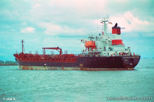
The current position of vessel '441353000' is 29.0378 lat / 48.1757 lng. Updated: 2025-02-08 14:19:02 UTCPort of registry:
Majuro (capital of the Marshall Islands)Payload_mass:
19940 tonneGross tonnage:
11534Service entry:
2007-01-01T00:00:00ZManufacturer:
Kitanihon ShipbuildingDetails:
Last coordinates of the vessel:
UTC, 29.0378, 48.1757, course: 153, speed: 0UTC, 29.0378, 48.1757, course: 153, speed: 0
UTC, 29.0377, 48.1756, course: 153, speed: 0
2025-02-08 14:19:02 UTC, 29.0378, 48.1757, course: 153, speed: 0