 vesseltracker.com
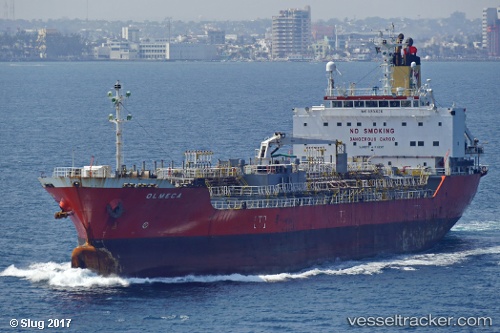
Vessel T ARCTURUS IMO: 9291028, MMSI: 636020379 Chemical/Oil Products Tanker
Live AIS position:
UTC. 100 nm NE of Ryuo),
updated 2025-11-12 02:56:41 UTC.
Find the position of the vessel T ARCTURUS on the map. The latter are known coordinates and path.
marine traffic ship tracker show on live map
The current position of vessel T ARCTURUS is 36.68704 lat / 18.24709 lng. Updated: 2025-11-12 02:56:41 UTCCurrently sailing under the flag of Liberia
T ARCTURUS built in 2003 year
Deadweight:
15472 tDetails:
Last coordinates of the vessel:
2025-11-12 02:56:41 UTC, 36.68704, 18.24709, course: 17, speed: 11.6