 vesseltracker.com
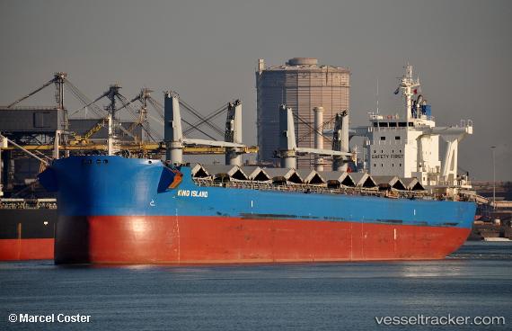
Vessel 'BARRACUDA ISLAND' IMO: 9583017, MMSI: 477528100
Live AIS position:
UTC. Near QINZHOU),
updated 2025-10-31 10:35:44 UTC.
Find the position of the vessel 'BARRACUDA ISLAND' on the map. The latter are known coordinates and path.
marine traffic ship tracker show on live map
The current position of vessel 'BARRACUDA ISLAND' is 21.69310 lat / 108.63470 lng. Updated: 2025-10-31 10:35:44 UTCDetails:
Last coordinates of the vessel:
2025-10-31 10:35:44 UTC, 21.69310, 108.63470, course: 6, speed: 0