 vesseltracker.com
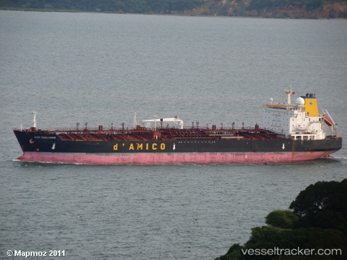
Find the position of the vessel 'EMMA' on the map. The latter are known coordinates and path.
marine traffic ship tracker show on live map
The current position of vessel 'EMMA' is 2.14384 lat / 102.229 lng. Updated: 2024-05-18 22:28:14 UTCPayload_mass:
46475 tonneGross tonnage:
28238Service entry:
1999-01-01T00:00:00ZDetails:
Last coordinates of the vessel:
UTC, 2.14202, 102.229, course: 39, speed: 0UTC, 2.14167, 102.228, course: -1, speed: 0
UTC, 2.14371, 102.229, course: 111, speed: 0
2024-05-18 22:28:14 UTC, 2.14384, 102.229, course: 117, speed: 0