 vesseltracker.com
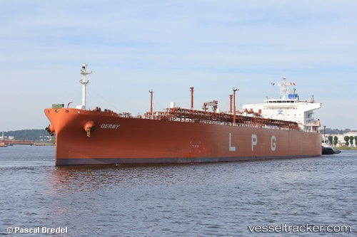
Vessel 'RAM LILA' IMO: 9479929, MMSI: 419001637
UTC, 25.61880, 55.11718, course: 238, speed: 13.5
UTC, 25.49245, 54.61732, course: 233, speed: 13.7
2026-02-04 18:11:17 UTC, 25.37237, 54.04917, course: 245, speed: 13.6
Live AIS position:
UTC. 29 nm SW of Fateh Terminal),
updated 2026-02-04 18:11:17 UTC.
Find the position of the vessel 'RAM LILA' on the map. The latter are known coordinates and path.
marine traffic ship tracker show on live map
The current position of vessel 'RAM LILA' is 25.37237 lat / 54.04917 lng. Updated: 2026-02-04 18:11:17 UTCDetails:
Last coordinates of the vessel:
UTC, 25.80289, 55.35482, course: 200, speed: 14UTC, 25.61880, 55.11718, course: 238, speed: 13.5
UTC, 25.49245, 54.61732, course: 233, speed: 13.7
2026-02-04 18:11:17 UTC, 25.37237, 54.04917, course: 245, speed: 13.6