 vesseltracker.com
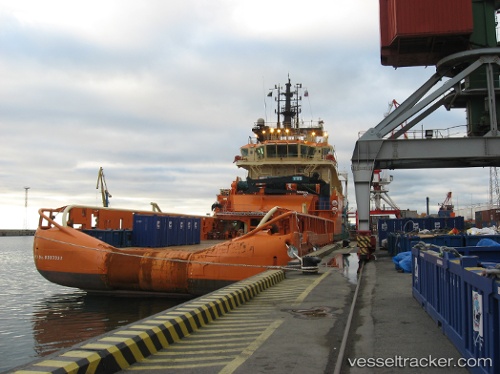
Vessel 'ROYAL REY 7' IMO: 9307322, MMSI: 525800388
UTC, -4.99851, 115.90552, course: 308, speed: 2.2
UTC, -4.97696, 115.92661, course: 26, speed: 2.4
2026-02-01 19:54:10 UTC, -4.89558, 115.99688, course: 6, speed: 2.4
Live AIS position:
UTC. 52 nm S of MEKAR PUTIH),
updated 2026-02-01 19:54:10 UTC.
Find the position of the vessel 'ROYAL REY 7' on the map. The latter are known coordinates and path.
marine traffic ship tracker show on live map
The current position of vessel 'ROYAL REY 7' is -4.89558 lat / 115.99688 lng. Updated: 2026-02-01 19:54:10 UTCDetails:
Last coordinates of the vessel:
UTC, -5.07039, 115.84079, course: 20, speed: 2.2UTC, -4.99851, 115.90552, course: 308, speed: 2.2
UTC, -4.97696, 115.92661, course: 26, speed: 2.4
2026-02-01 19:54:10 UTC, -4.89558, 115.99688, course: 6, speed: 2.4